


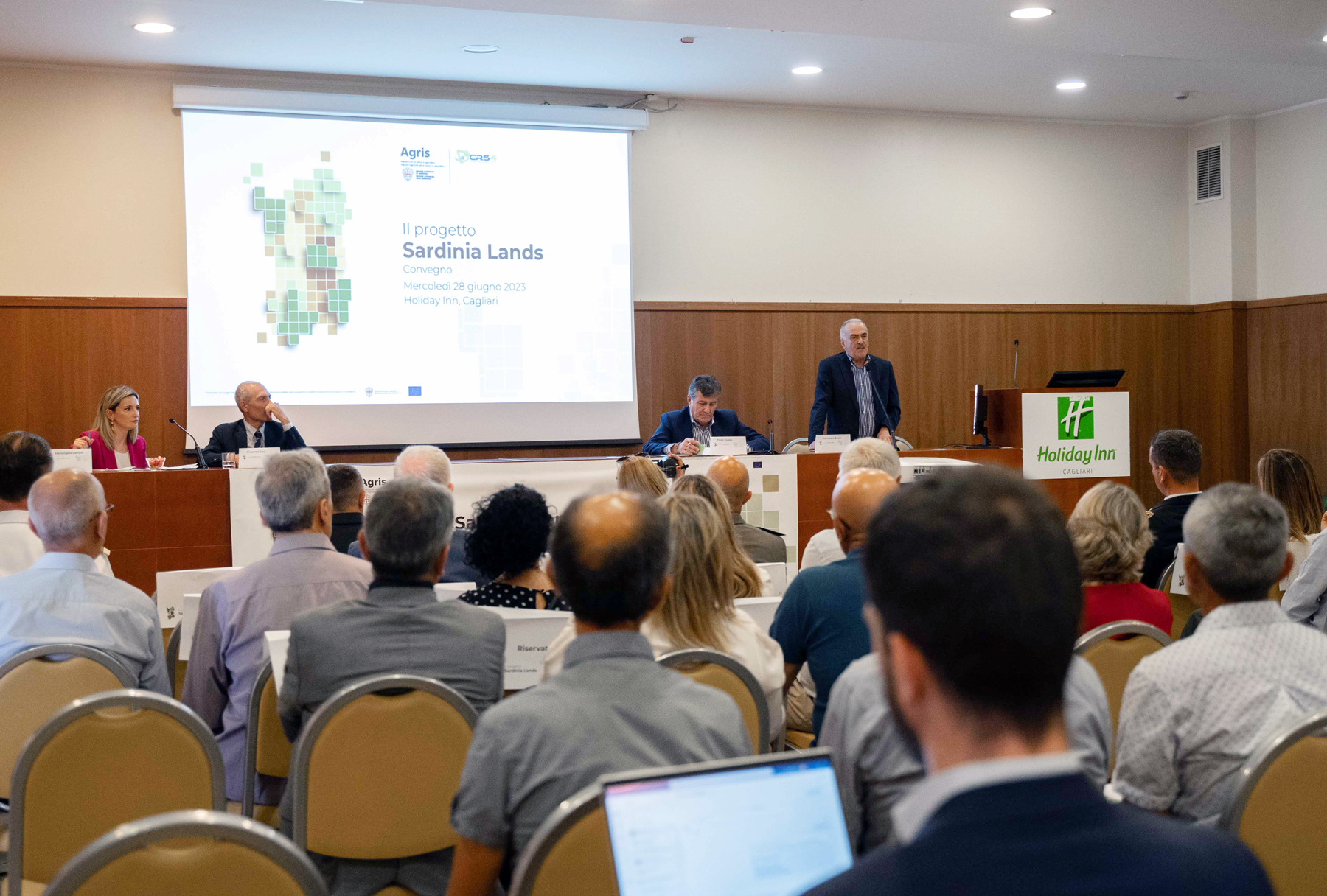
Olive, almond, citrus, and grapevine are among the reference crops for regional agriculture. The vocational characteristics of the Nurra, Arzana-Loceri, Muravera, Pula-Capoterra areas are the subject of study in the Sardinia Lands project, carried out by Agris and CRS4, in collaboration with Arpas, and presented this morning in Cagliari.
To identify the best soil characteristics and define a methodology for determining which crop suits them best, aerospace and proximity sensing technologies were utilized. Specifically, the activities involved geospatial analysis of the territory by combining pedological and bioclimatic data. In parallel, a case study analysis was conducted to validate the indices obtained from processing data from various tools, including multispectral and thermal sensors. Over 24 satellite surveys and 30 drone surveys were conducted on the four identified macro-areas, involving eight agricultural companies participating in the project.
The acquired and processed data were integrated into the Sardinia Lands platform developed as part of the project. The platform provides decision support for structured territorial planning, with the goal of protecting and enhancing local agrosystems, taking into account ongoing climate changes. The development of the Sardinia Lands platform utilized a multicriteria model based on a set of tools, including land use capacity maps, satellite data analysis, historical climate, bioclimatic, and agronomic data, enabling the representation of agricultural vocation on a large scale.
The CRS4 team involved in the project includes Eva Lorrai, Laura Muscas, Roberto Demontis, Davide Muroni, and Carlino Casari.
The project was funded under Regional Law No. 7 of August 7, 2007, "Promotion of Scientific Research and Technological Innovation in Sardinia."