An article published in Frontiers in Soil Science by researchers from CRS4 and the University of Sassari presents MED-SIS, an interoperable platform for integrating and sharing soil information across Mediterranean countries.
A research team from CRS4, in collaboration with the University of Sassari, has published the article “A decentralized network of soil information systems for soil data management across the Mediterranean region” in Frontiers in Soil Science. The paper describes the development of MED-SIS (Mediterranean Soil Information System), a platform designed to manage, harmonize, and share soil information across Mediterranean countries.
The work presents a solution developed within the international SOILS4MED project, which brings together partners from Europe, North Africa, and the Middle East with the aim of improving soil health monitoring and supporting sustainable land management strategies.
The authors of the article are Roberto Demontis, Eva B. Lorrai, Laura Muscas, and Piergiorgio Palla from the CRS4 Digital Technologies Sector, together with Claudio Zucca from the University of Sassari.
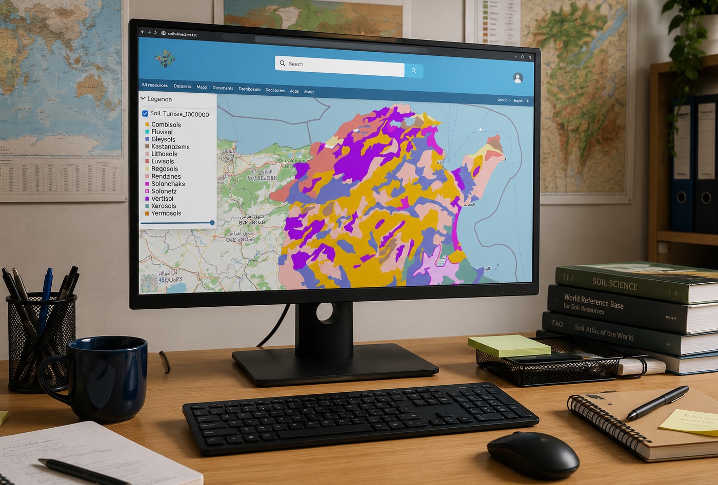
One of the main challenges addressed by the project is data fragmentation. Different countries often rely on distinct classification systems, survey methodologies, and databases that are difficult to integrate. MED-SIS tackles this issue through a harmonized data model and an interoperable geospatial infrastructure that brings together legacy datasets, monitoring activities, and soil health indicators within a common environment.
Unlike traditional centralized platforms, MED-SIS adopts a distributed approach. Each participating institution retains ownership and control of its data while making it available through an interoperable network based on international standards. This model promotes scientific collaboration and improves the comparability of information across countries, while preserving the autonomy of individual national nodes.
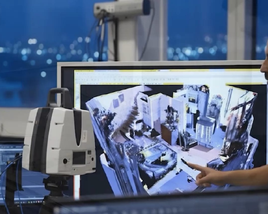
Developed using open-source technologies, the platform integrates WebGIS functionalities, spatial data management tools, and standardized services for data access and exchange. The system can also calculate and publish soil health indicators, supporting environmental and agricultural analysis as well as evidence-based decision-making.
The article is available in open access in Frontiers in Soil Science: