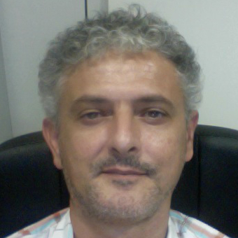
Roberto Demontis is expert technologist in the Geographic Information Systems Research Program of the DIGITAL TECHNOLOGIES FOR AEROSPACE Sector at CRS4 where he has been working since 2000. He got a degree in Computer Science at the University of Pisa in 1997.The scopes of research is on GIS (Geographical Information System) related technologies with particular reference to the treatment of environmental data and their correlation with data of other kinds. Uses and develops mainly open source software. He has experience on Big Data, DBMS and the development of WebGis applications and DSS (Decision Support Systems) tools.
Chiudi